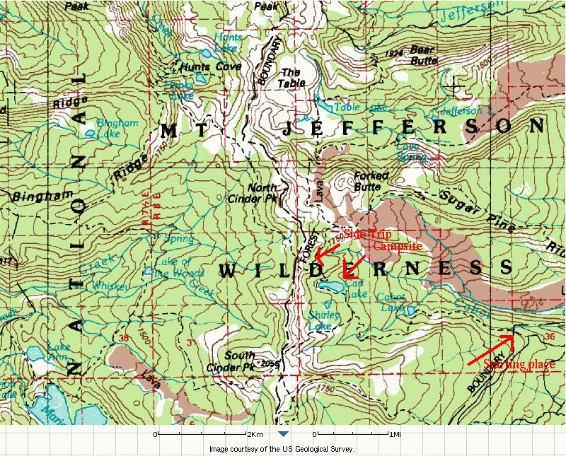
On June 22nd and 23rd, several of the scouts going to Philmont went on a training hike up to Carl Lake, covering about 15 miles over two days.
We had Gareth d, Sean M, and Thomas R. In addition, we had Alan M and Dave R as adults.
Our route took us past Cabot Lake and then up to Carl Lake. In the morning, we left our packs behind, and climbed the ridge to get a look at Mt. Jefferson.
 An interactive version of this map, with arial photos, is
available at
MicroSoft's Terraserver.
An interactive version of this map, with arial photos, is
available at
MicroSoft's Terraserver.
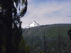 | Mt. Jefferson pops in and out of view as we move through the valleys. | There were lots of small butterflys or moths running around. This rock, on the shore of Cabot Lake, had about 15 butterflys perched on it doing whatever they do. | 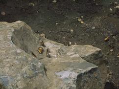 |
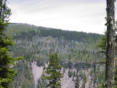
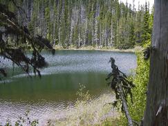 | This is Cabot Lake. After this lake, there are a couple of small ponds before we make our way up to Carl Lake. | A small group of Bear Grass. The pine forest has been heavily damaged by a beetle. Perhaps 20% of the forest is still alive. You can see the trunks of the trees that have been killed here. | 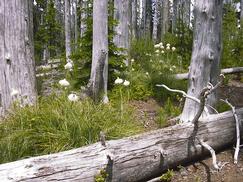 |
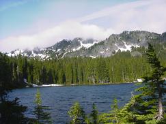
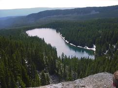
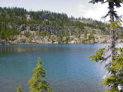 | Carl Lake is formed by the mountain valleys and a morain. There is a very steep rock wall that also forms a portion of one side of the lake. | 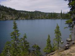 | |
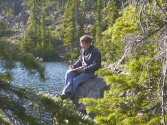 | Alan M drawing the scenery. |  | |
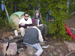 | Sean M, Thomas R, and Gareth d playing cards before bed time. | 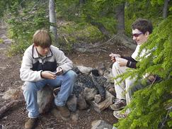 | |
 | In the morning we took a trip up the ridge to get a better view of the lake, and to see Mt. Jefferson. | 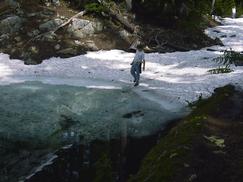 | |
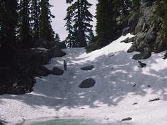 | There was a bit of snow in the depressions, and small ponds formed by the melting snow. | People take a break, and consult the map. | 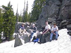 |
 | We are about 800' above Carl Lake. | To our right are the cliffs that are quite visible from Carl Lake. Evidentally, they are covered with huckleberries later in the year. | 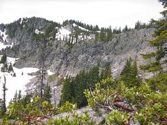 |
If you have any question about this page, send mail to Dave Regan