On June 22nd and 23rd, several of the scouts going to Philmont went on a training hike up to Carl Lake, covering about 15 miles over two days.
We had Gareth d, Sean M, and Thomas R. In addition, we had Alan M and Dave R as adults.
Our route took us past Cabot Lake and then up to Carl Lake. In the morning, we left our packs behind, and climbed the ridge to get a look at Mt. Jefferson.
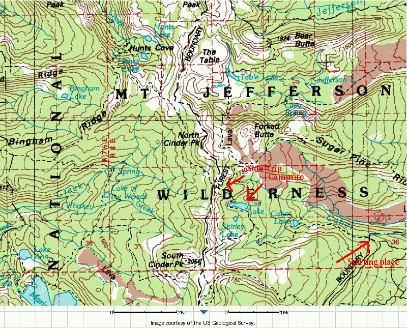 An interactive version of this map, with arial photos, is
available at
MicroSoft's Terraserver.
An interactive version of this map, with arial photos, is
available at
MicroSoft's Terraserver.
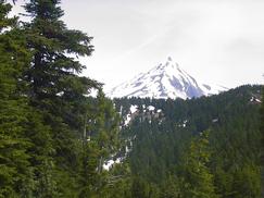 | From the top of a small knoll, we get to see Mt. Jefferson to the North. | Looking South, we see Broken Top, and two of the sisters. | 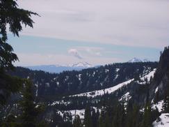 |
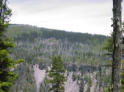
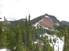 | There is a small cinder covered hill towards the North. | People work on their map skills in a situation where everything is layed out in front of them. | 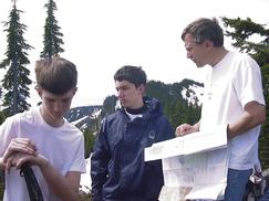 |
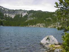 | Back at Carl Lake, you can see the cliffs that we were up next to, and then on the way out, Mt. Jefferson appears once again. | 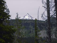 |
If you have any question about this page, send mail to Dave Regan