On the 21st of August, some members of our troop went on a hike in the Three Sisters Wilderness Area, and saw some very impressive mountains.
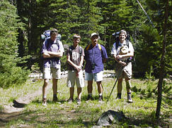
We had John D, Grant K, Tim K, Dave R, and Rowdy W. Grant and Tim went as a day hike, and the rest went on a 14 mile hike on Scott Trail, part of the Pacific Crest Trail, and part of Obsidian Trail. This area is just East of Camp Melakwa.
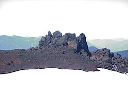
 | The first part of the trail led through a forested area. The trail then (abrubtly) broke out into lava fields with occasional trees. There was still some snow left from the previous winter. | 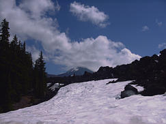 | |
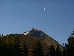
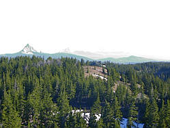
 | One of the first interesting areas we came to was Four in One Cone, which is a ridge of loose volcanic material. | From up on top of this ridge, you could see North Sister although it's peak was in the clouds. | 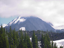 |
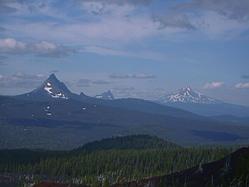 | Also from on top of Four in One Cone you could see Mt. Washington, Three Finger Jack, and Mt. Jefferson. | Looking down the side of the cone, you could see a rough lava flow. | 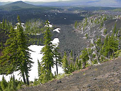 |
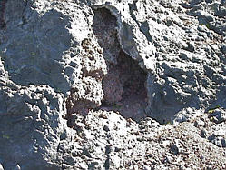
 | As we went further on the trail, we saw other peaks and volcanic structures of all sizes. | 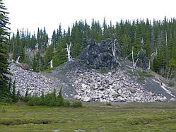 | |
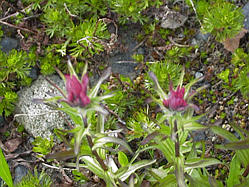 | Throughout the hike in the open areas, we saw a variety of wildflowers. | We stopped for the night near Collier Cone. From our living room view we could see Mt. Washington, Three Finger Jack, Mt. Jefferson, Mt. Hood, and Mt. Adams. Turning around we could see North Sister and Middle Sister as well as a variety of other peaks. | 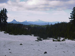 |
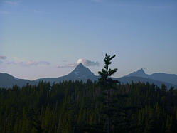 | During the evening, we watched a cloud try to move across the top of Mt. Washington. We went over to the west to watch the sunset. Although the late afternoon had a heavy overcast, by evening, most of the clouds were gone. | 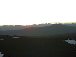 | |
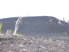
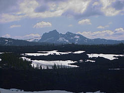
 | The morning was bright and crisp. | The cinder cone in front of North Sister is Collier Cone. It was interesting to see that some of the volcanic hills had been overgrown with trees, but others (like this one), the plants had hardly touched yet. | 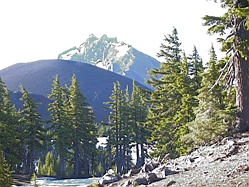 |
 | Our hike out took us through the lower west side of North Sister. There was lots of rough lava. | 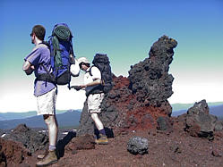 | |
 | On our way out, we briefly chatted with some folks who had hiked up the Pacific Crest Trail from the U.S.A. / Mexican border, and were covering about 20 miles a day. As for me, I was happy to see the end of the trail. However, there were some wonderful sights, and these photos don't do them justice. | If we go again, I'd like to take a geologist to explain how so of the structures we saw were formed. Thanks to all who went on the hike. | 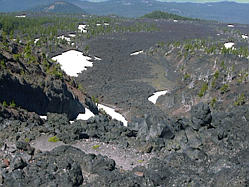 |
If you have any question about this page, send mail to Dave Regan